The Ground Beneath the Crane
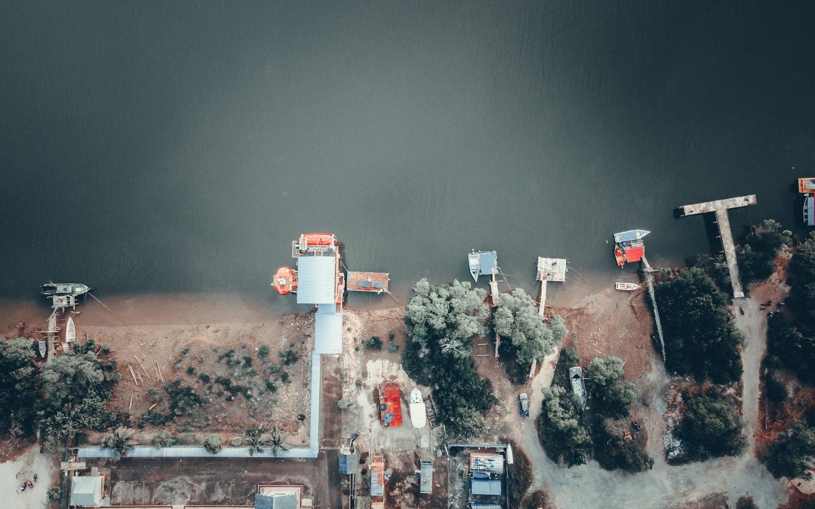
A major port looks, from the water, like a triumph of engineering: concrete quays extending into deep water, gantry cranes standing forty metres high, acres of hardstand given over to box stacks and tank farms. What the view conceals is that most of this infrastructure was built because something was already there — a natural feature, a convergence of conditions, a geographic accident that made the site irreplaceable before the first pile was driven.
Four conditions tend to recur wherever large ports take root. The first is draft — enough water depth, either naturally occurring or achievable by dredging without perpetual war against sediment. The second is shelter, meaning some combination of headland, island, bay mouth or river bank that kills the open-ocean swell and gives vessels a place to lie without anchor-dragging in a gale. The third is flat, stable ground close to the water, because cargo handling is essentially a land operation that happens to begin and end at the hull. And the fourth — the condition that turns a good anchorage into an industrial port rather than a fishing village — is hinterland access: a navigable river, a gap in the hills, a coastal plain that connects the waterfront to the interior.
When all four exist together, the site acquires a kind of geographic gravity. Industries follow each other in. Labour concentrates. Rail and road infrastructure bends toward the quay. Each investment makes the next investment more rational, until the port and the city around it become mutually dependent in ways that are nearly impossible to unpick.
Why the Site Comes First
Rotterdam sits at the mouth of the Rhine because the Rhine drains a vast industrial interior and the Rhine's estuary happened to open onto the southern North Sea at a point where depth was workable and land was flat — extremely flat. The port did not create those facts; it simply occupied them, and the twentieth century's expansion westward into the Maasvlakte followed the same logic: still the Rhine corridor, still the North Sea approach, just more of the shoreline pressed into service.
Singapore's position at the southern tip of the Malay Peninsula is an almost geometrically perfect example of geographic determinism: vessels transiting between the Indian Ocean and the South China Sea have no efficient alternative to passing through the Strait of Malacca, and Singapore sits at the eastern end of that strait on a deep, sheltered harbour. The colonial port of the nineteenth century and the container megaport of today occupy the same fundamental advantage. The cranes changed; the strait did not.
The same argument runs through ports built on river mouths — Hamburg on the Elbe, Buenos Aires on the Río de la Plata estuary, Kolkata (historically) on the Hooghly branch of the Ganges. Each required substantial dredging, and each involved accepting the maintenance burden that river sediment imposes. They persisted because the hinterland connection was irreplaceable, not because the hydraulics were convenient. A port that dredges a channel every decade is still cheaper and more useful than a port that has no channel to dredge.
Where the natural conditions are absent or marginal, ports tend to serve narrower purposes — ferries, fishing, regional distribution — unless extraordinary investment compensates. Even then, the investment is always catching up to what geography already gave somewhere else. The engineering is real and sometimes impressive. But the decision about where to build the quay was usually made by the land itself, by a river seeking the sea across flat ground, and by the first ships that noticed the shelter and dropped anchor.
An independent guide to ships, ports and cargo. Not affiliated with, or representing, any chamber, association, operator, port authority or regulatory body.