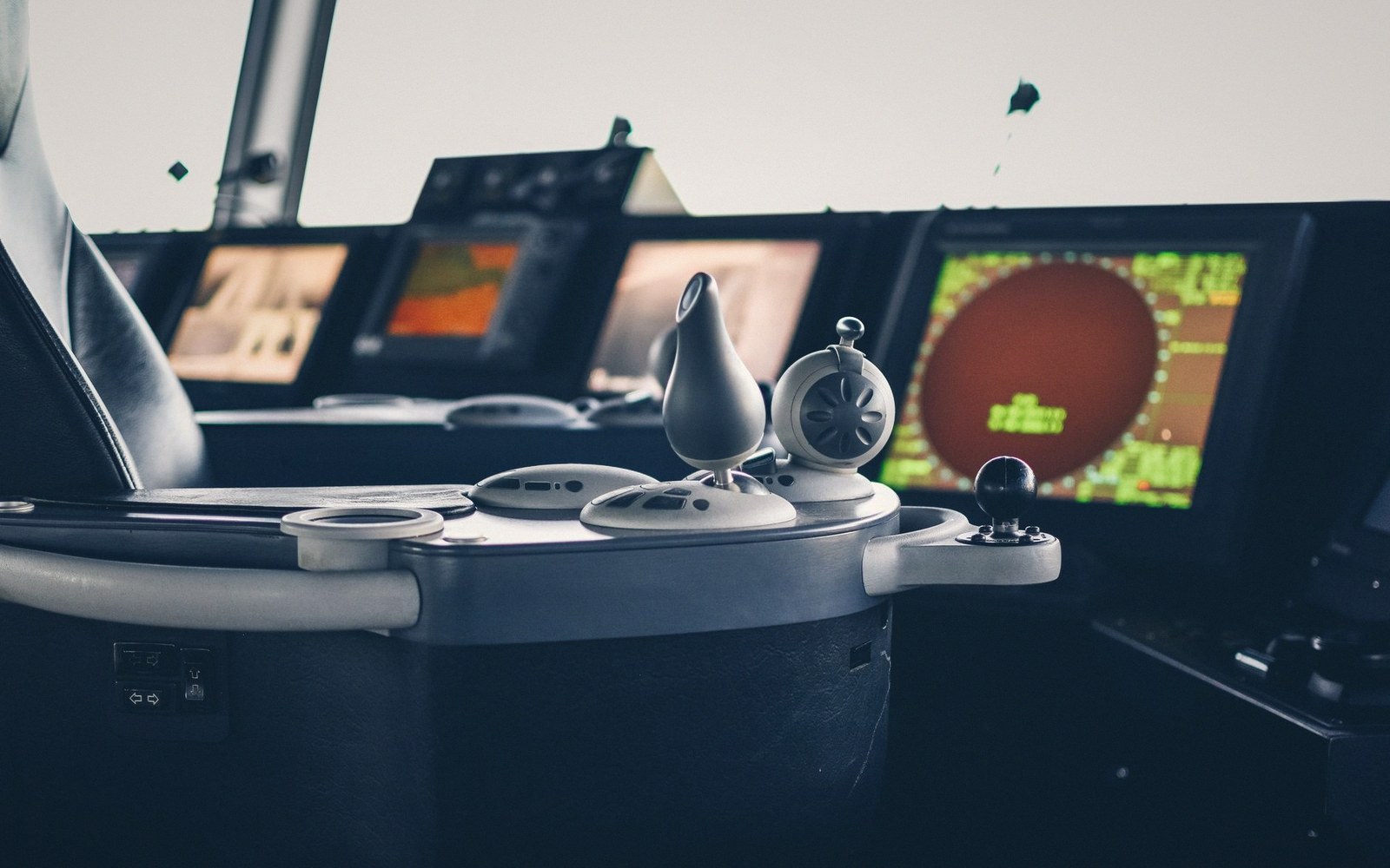
Reading the Green Glow
A ship's radar works by spinning an antenna and timing the return of microwave pulses. Everything the display shows is derived from that timing: the distance to a target is proportional to how long the pulse took to bounce back; the bearing comes from which direction the antenna was pointing when the return arrived. The result is a circular display, the own ship at or near the centre, with echoes painted as bright smears wherever solid objects reflected energy back.
Land returns are strong and relatively stable. A rocky headland produces a fat, reliable echo; a low sandy shore absorbs more energy and may show weakly or not at all. Rain and heavy seas generate clutter — a speckled fog of returns near the centre — which the officer suppresses with a control called sea clutter gain, at the cost of also softening nearby targets. That trade-off is never fully resolved; it demands continuous attention rather than a one-time adjustment.
Vessels appear as smaller echoes, moving. Modern radars carry ARPA — Automatic Radar Plotting Aid — which tracks acquired targets over time, calculates their course and speed, and draws a vector showing where each vessel will be in some chosen interval, commonly six or twelve minutes. The vector is a prediction, built from recent history, and it updates constantly. If a target manoeuvres, the vector takes time to catch up, which is why an ARPA display during an overtaking situation or in a busy anchorage requires interpretation, not passive watching.
The electronic picture and the visual picture are read together because each fills gaps the other leaves. Radar is largely indifferent to fog and darkness, which are the conditions it exists to address. But a radar echo cannot tell the officer whether the target is a laden tanker on a steady course or a fishing vessel about to haul gear and slow sharply. Visual observation, binoculars, navigation lights, VHF — all of that context layers onto what the screen shows. Neither source is sufficient alone.
A second display — the ECDIS, Electronic Chart Display and Information System — overlays the radar picture on a digital chart, confirming that the land return in the southern quadrant matches the charted headland it should. When they agree, confidence rises. When a return sits where the chart shows open water, the officer looks harder, not less.
The radar does not watch. The officer watches. The radar is what the officer watches with.